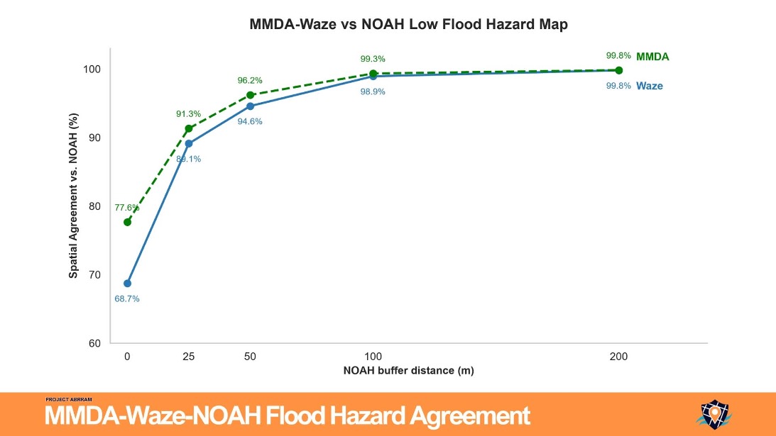
Spatial buffers help account for potential reporting delays and location uncertainties, particularly among Waze users who may report flooding before or after passing the affected area due to traffic conditions or vehicle movement. Further studies will examine these factors and determine appropriate buffer distances for more accurate spatial comparisons.
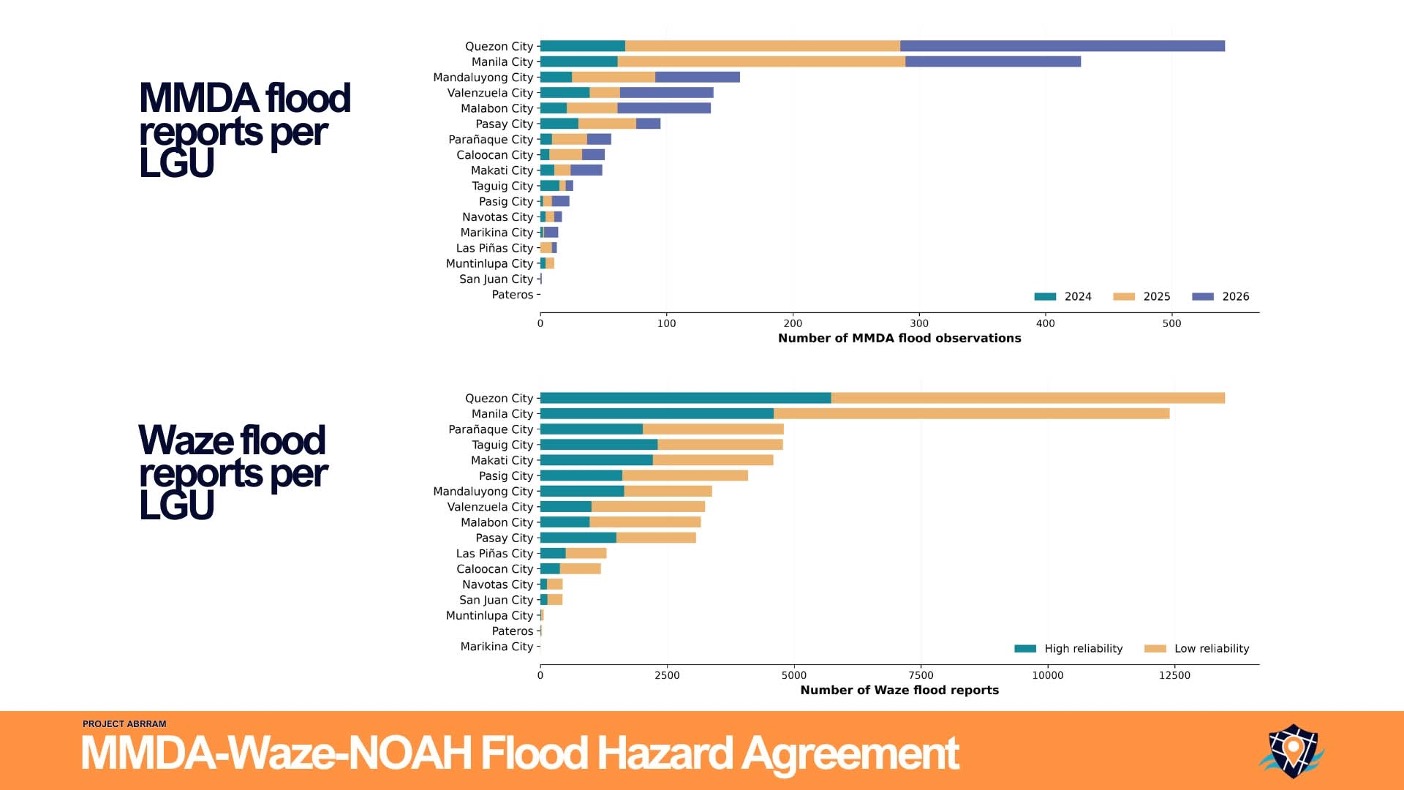
The ongoing study demonstrates the potential of combining official observations, crowdsourced reports, and flood hazard maps to strengthen flood risk assessment, situational awareness, and evidence-based disaster preparedness.
This research is part of Project ABRRAM’s broader initiative to develop data-driven solutions for disaster risk reduction and resource allocation in the Philippines


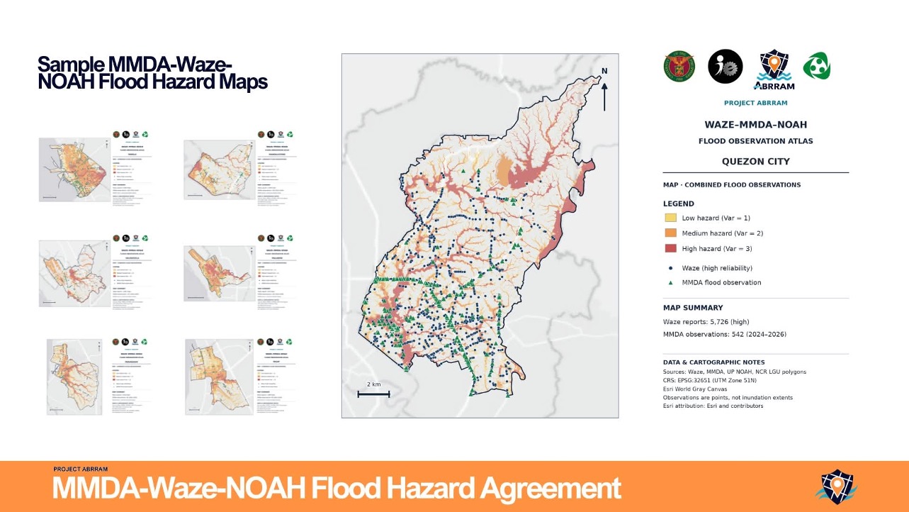
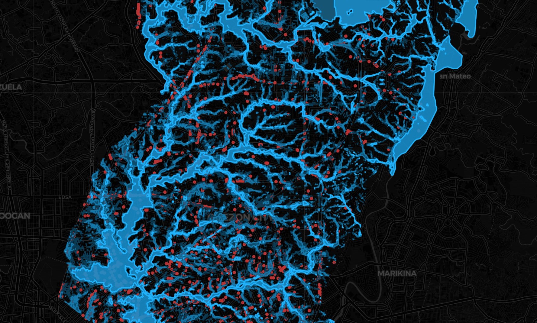 Metro Manila Cities Flood Hazard Maps from UP NOAH with Flood Reports from WazeExplore interactive flood hazard maps of Metro Manila Cities from UP NOAH with Waze flood reports overlayed. Toggle…
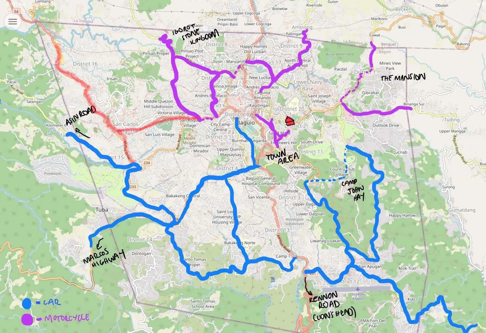 UP Researchers Map Baguio Roads to Help LGUs Spot Critical FacilitiesBaguio City, Philippines — A small team of UP researchers recently took to the streets of Baguio armed…